
The Abridged version:
- Meteorologist Mark Finan says snow is expected to start Sunday afternoon and remain steady through Wednesday.
- Sacramento travelers leaving for Tahoe area this weekend should head out early Friday and be prepared for slow driving conditions if returning on Monday.
- Four feet of snow if expected to fall during Tahoe’s Ski and Skate Week.
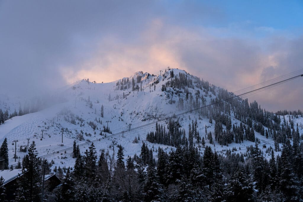
After a stretch of dry, relatively mild weather, a major winter storm is lining up to make a dramatic entrance over Presidents Day and Valentine’s Day weekend in the Sierra.
For Northern California’s longtime weather authority Mark Finan, the setup is classic Sierra. Finan, who has been forecasting weather in the region for 35 years and now shares daily updates on his YouTube channel, said the early part of the holiday weekend will cooperate.
“We are going to dry out after tonight in the valley, foothills and Sierra,” Finan explains. “Thursday, Friday, Saturday — even Sunday morning — look dry and relatively mild. Getting into the Sierra on Friday and Saturday is not a problem.”
That changes late Sunday.
When the snow arrives
Rain returns to the valley by Sunday afternoon and evening, and into Monday. Meanwhile, heavy snow develops in the Sierra. Snow levels could drop to around 4,000 feet, which could dramatically impact the roadways in the Lake Tahoe region.
At elevations above 7,000 feet, including areas near Donner Summit, Finan says four feet of snow is “certainly in the realm of possibility” between Sunday and Wednesday. At 5,000 feet, places like Blue Canyon along Interstate 80 could see a couple of feet by midweek.
“This is the kind of storm where you might get six to eight inches in a day, then maybe a foot and a half on Monday,” Finan says. “It will vary from time to time, but over several days it adds up.”
Why elevation matters
For travelers, the difference between 5,000 feet and 7,000 feet is not just a number. It determines how much roadway Caltrans must clear.
“When snow is only falling above 7,000 feet, crews may have 15 or 20 miles of road to clear,” Finan says. “But when snow levels drop, that mileage doubles or triples.”
More snow at lower elevations means fewer lanes open, slower speeds, and the potential for hours-long delays as drivers crawl single file at 30 miles per hour toward Lake Tahoe or Reno.
Finan’s biggest concern is timing. While getting up to Tahoe on Friday or Saturday should be smooth, returning late Sunday night or during the day Monday could bring “big headaches” —especially with holiday traffic funneling back to the valley.

A gift for skiers and snowboarders
For skiers and snowboarders, however, the storm is welcome news. “It’s a gift for skiers,” Finan said.
“We really need snow,” Finan added. “This is the kind of snow the Sierra needs to last through the rest of the season.”
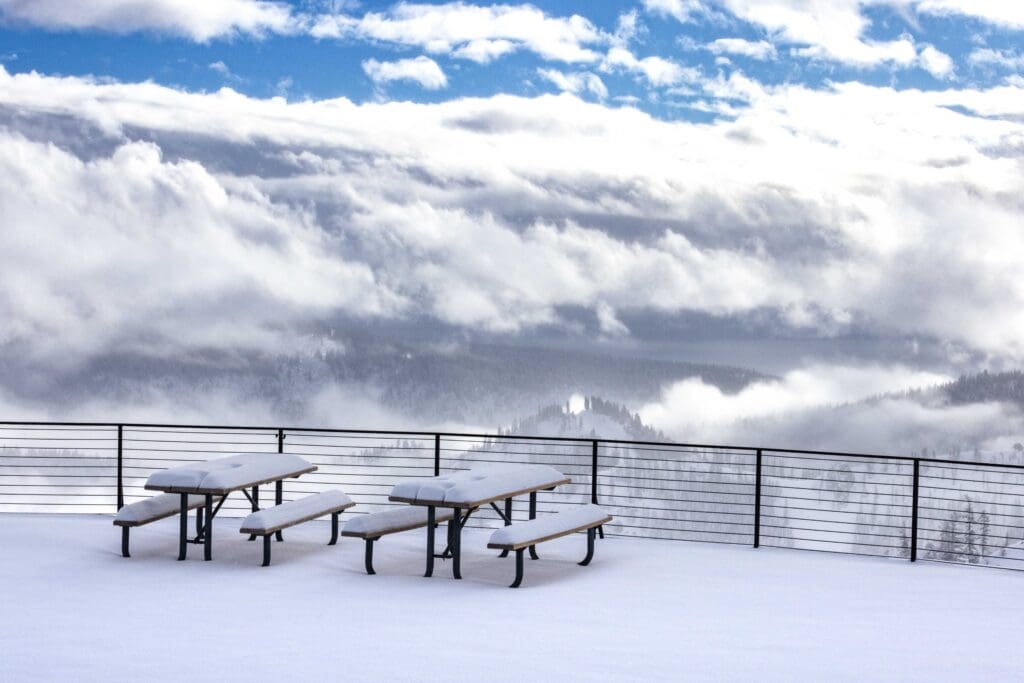
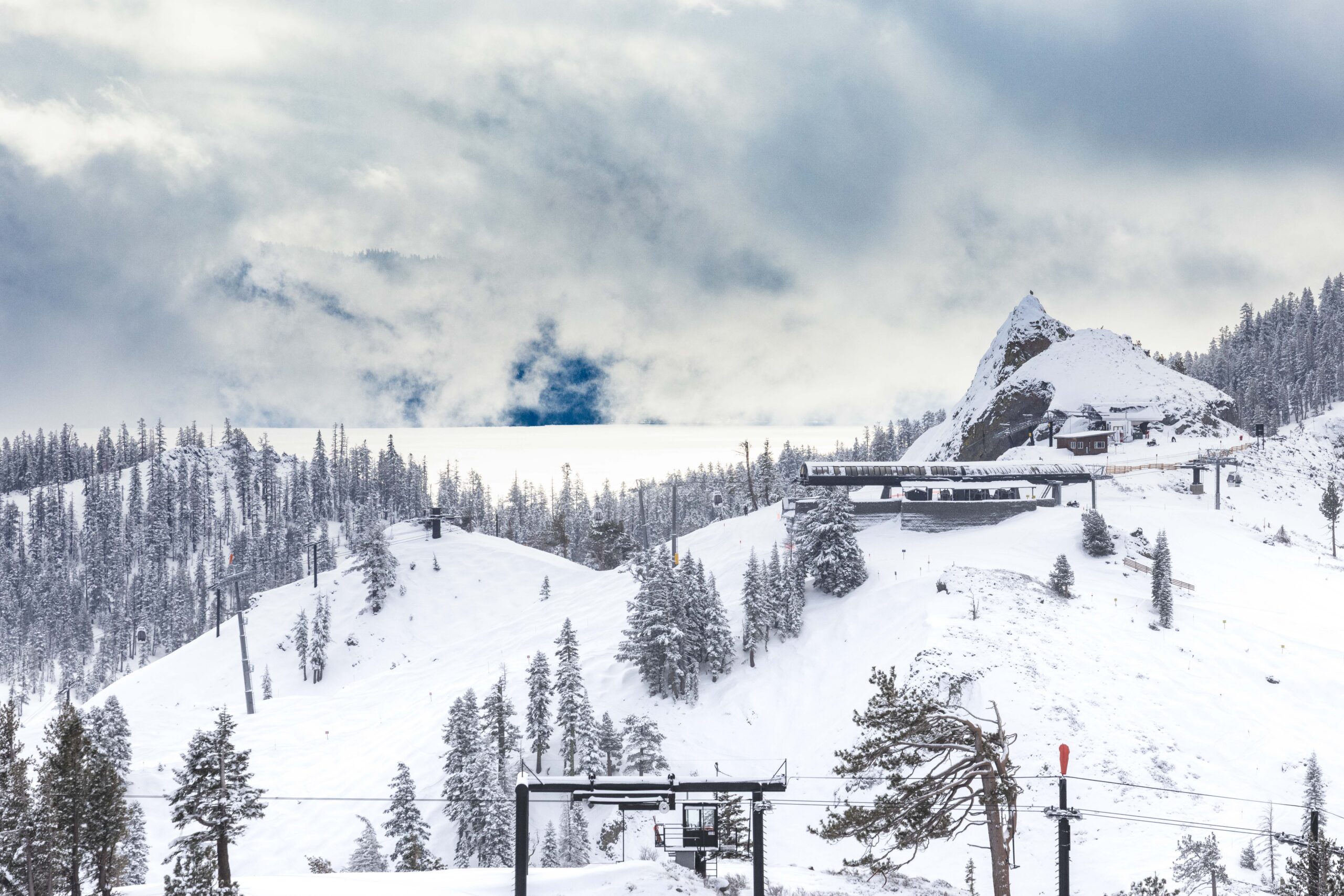
Palisades Tahoe is preparing for one of the busiest weekends of the season. Spokesman Patrick Lacey said on these “big powder days” visitors should expect delays on the mountain.
“We want to make sure our guests are safe, and our team is working at the speed of safety,” he said. Visitors should always ski with a friend on deep powder days, he said, and watch out for tree wells.
“This big storm is coming in and we’re going to get buried. It’s going to be a significant amount of snow coming down,” Lacey said.
After the storms pass through, the mountain will have a “nice refresh” of snow that will have the resort “sitting pretty nicely” through the season, Lacey said.
In addition to the Presidents Day holiday, many California schools take an extended “Ski and Skate Week” break in February, adding to the number of visitors in the Lake Tahoe region.
Ski week visitors arriving after the storm may be greeted with fresh powder and dramatically improved conditions across Tahoe resorts. After several weeks of limited precipitation, the Sierra snowpack has lagged behind average. This storm will help chip away at that.
What it means for water
Beyond recreation, the storm carries broader implications for California’s water future.
“It will help,” Finan says. “It may not get us back to average, because we’ve gone so long without much rain and snow. But every little bit helps.”
Reservoir storage at Oroville, Folsom and Shasta remains stable for now, but what California truly needs in late winter is sustained snowpack. That snow melts gradually in spring and early summer, feeding rivers and replenishing reservoirs in May, June and July.
“This is about building that snowpack,” Finan notes. “That’s what carries us through the dry months.”

The bottom line
Travelers heading to Tahoe for the holiday weekend should leave early, and plan to arrive by Saturday or early Sunday. Heavy snow and chain controls could slow travelers returning to the valley late Sunday or Monday.
And for those staying home, Finan offers simple advice: stay tuned.
“Don’t make all your plans on today’s forecast,” he says. “Check again Friday and Saturday. We’ll have a much better idea of exactly how much snow we’re going to see and when it starts and stops.”
In true Sierra fashion, the storm promises both beauty and disruption. Fresh powder for the slopes. Full plows on the passes. And a reminder that winter, at least for now, is far from over.
Rob Stewart is an executive producer with PBS KVIE and reports for Abridged.